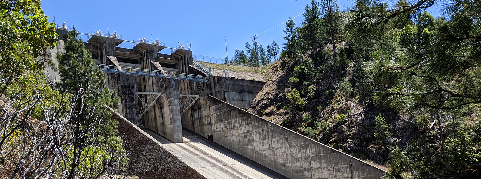
New Bullard’s Bar Dam
Yuba County, California
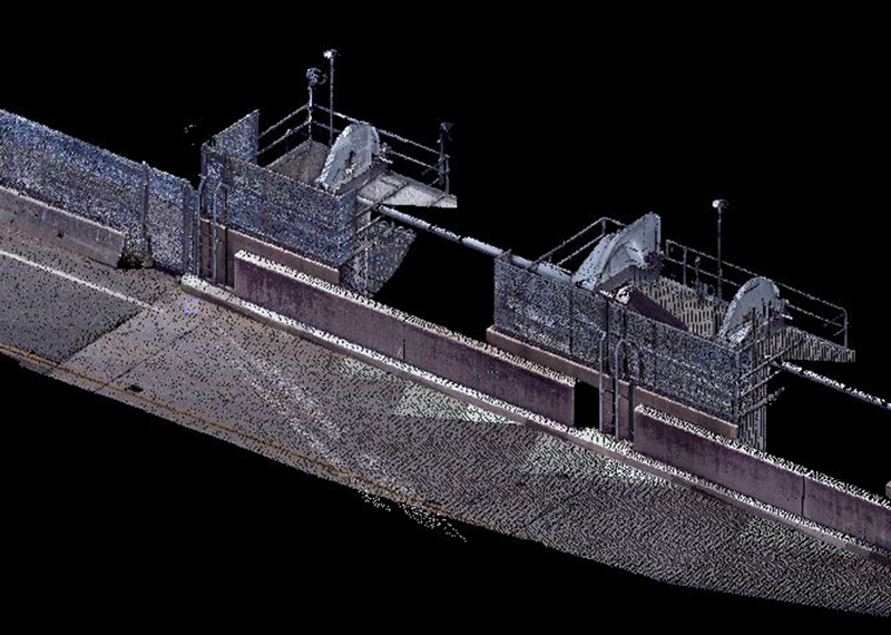
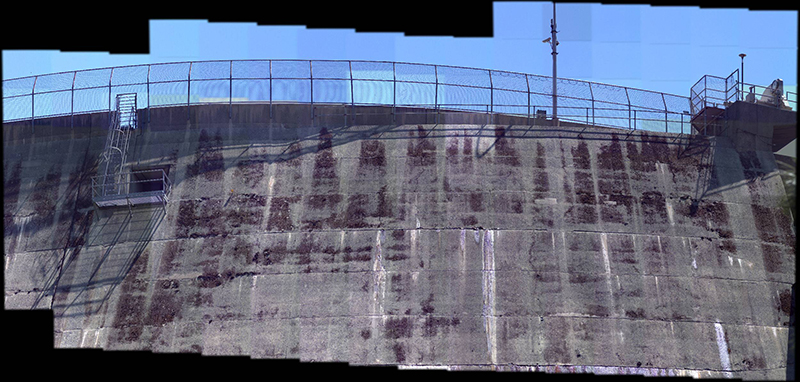
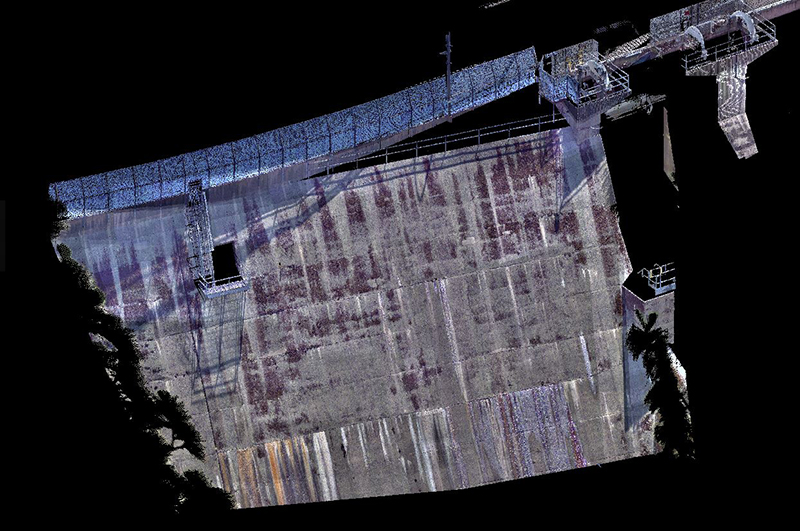
Pictured above: 3D models of New Bullard’s Bar Dam
As part of our work with Yuba Water Agency, we had the opportunity put our Trimble SX12 scanning total station to work on a portion of New Bullard’s Bar Dam. Because we were unable to safely access the near vertical face of the dam, the Trimble SX12 scanning total station was used to collect topographic data and images of the face of dam. The topographic survey was used by Yuba Water Agency engineers to design a new safety catwalk.
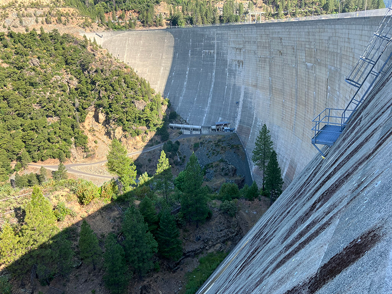
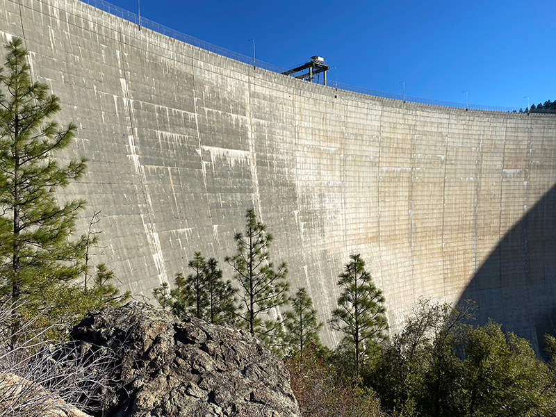
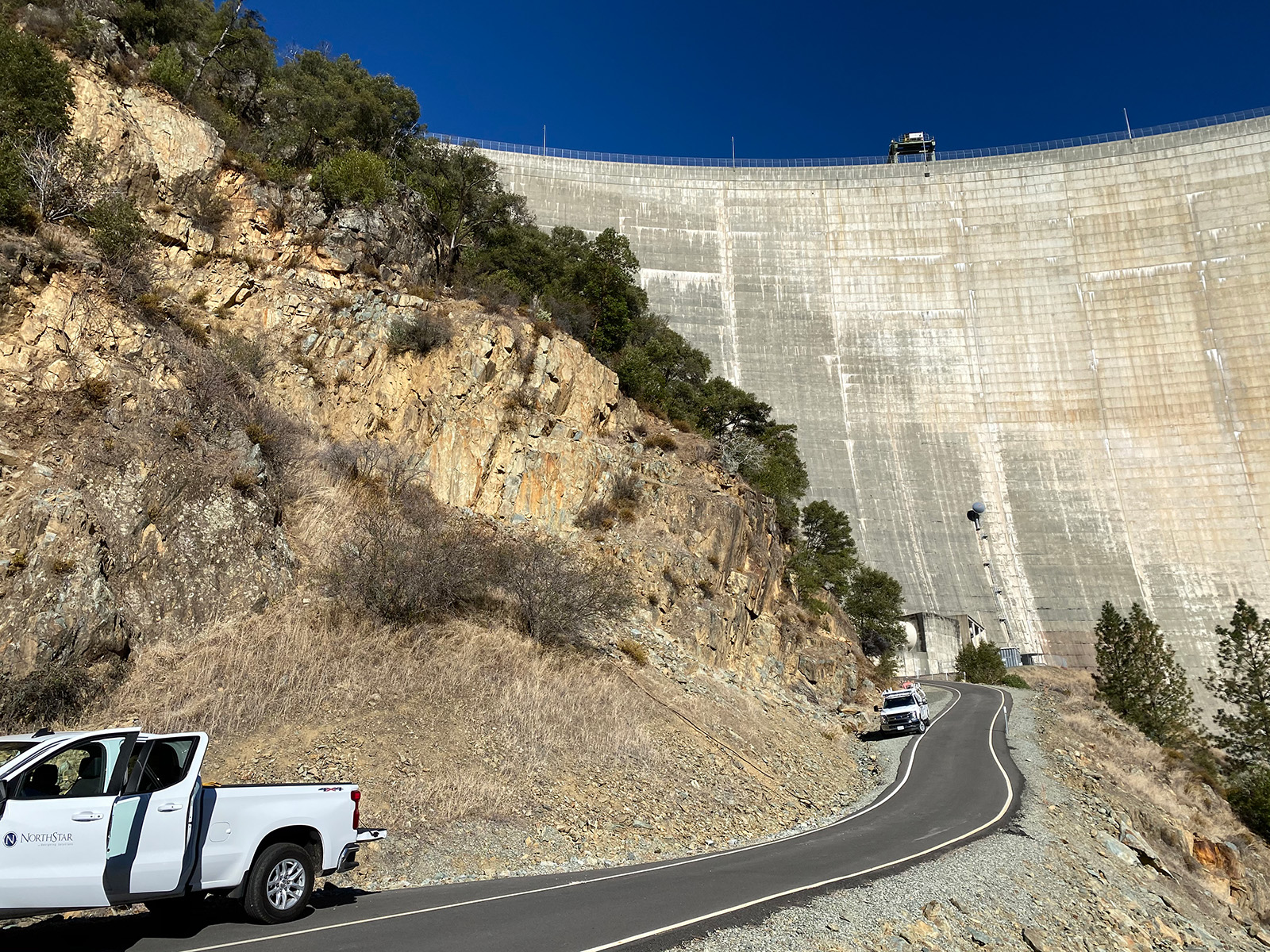
From there we compiled conventional survey data and point cloud data produced by the scanning total station to create a life-like 3D model of the dam as well as a topographic map for the new catwalk design. Using a scanning total station enabled us to quickly collect large amounts of survey data in an environment where using conventional surveying methods would be unsafe and impractical.
The combination of the point cloud and high-resolution imagery allowed us to depict the dam in much greater detail than conventional surveying methods.
Scanning is the future of the surveying industry and NorthStar was excited to investigate the capabilities of a scanning total station on this project. We are excited for opportunities to utilize this technology on future projects.